Forecast
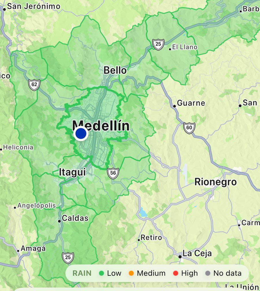
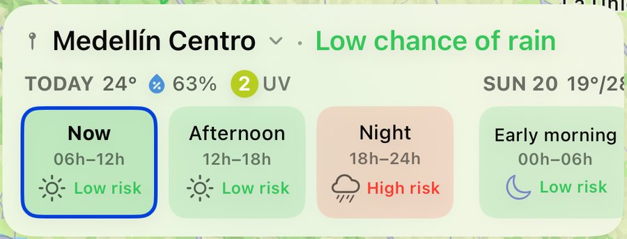
Rain chance by zone, in 6-hour blocks, with today's temperature, humidity and UV.
 Pulso
Pulso
Rain radar, river levels, air quality and mobility for the Aburrá Valley, from Medellín's public SIATA feeds.
Live radar, animated over the valley, plus a forecast by zone in 6-hour blocks.
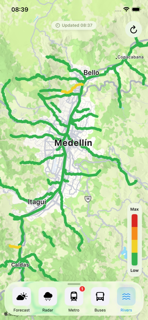
Forty-four rivers monitored by level; air quality rendered as a continuous surface.
Metro, buses and EnCicla: every route and station, on one map.
All of this data is already public. Anyone can read it, and it refreshes around the clock.
It just lives in half a dozen separate portals, on maps drawn for a desktop browser.
Pulso pulls those feeds into one app: every layer live, on a single map, legible at arm's length while you decide whether to walk or wait it out.
Forecast, UV, rain radar, rivers, air quality, wind, metro, buses and EnCicla, all on the same map. This is exactly what you see in the app.
Rain chance by zone, in 6-hour blocks, with today's temperature, humidity and UV.
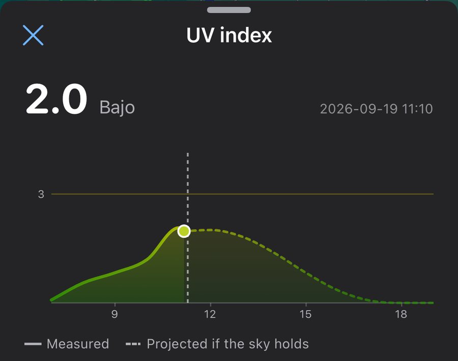
Measured through the day, and projected for the hours ahead if the sky holds.
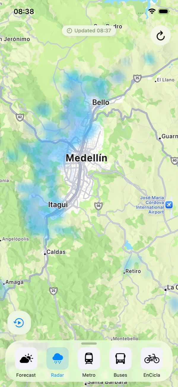
Live precipitation, animated over the valley.
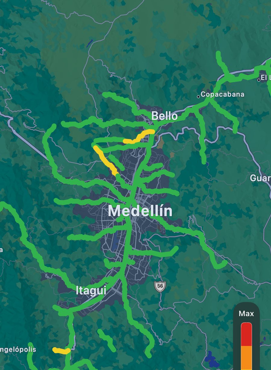
Every gauge, colour-coded by risk along the river's real course.
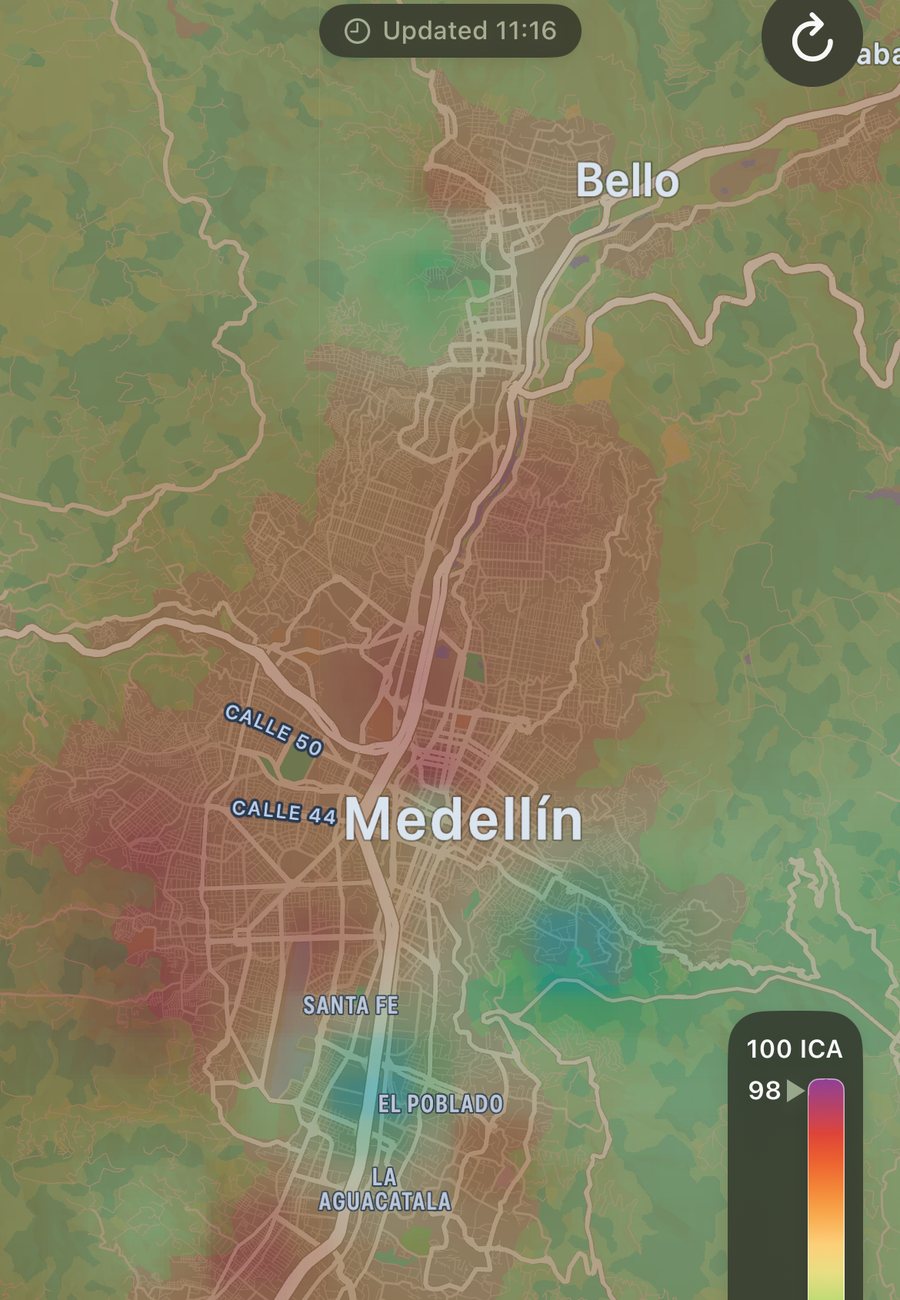
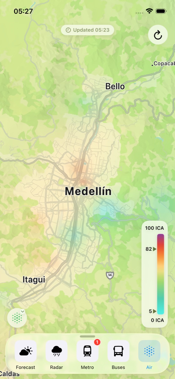
ICA from every SIATA station, drawn as one continuous surface.
Wind speed and direction across the valley, animated over the map in km/h.
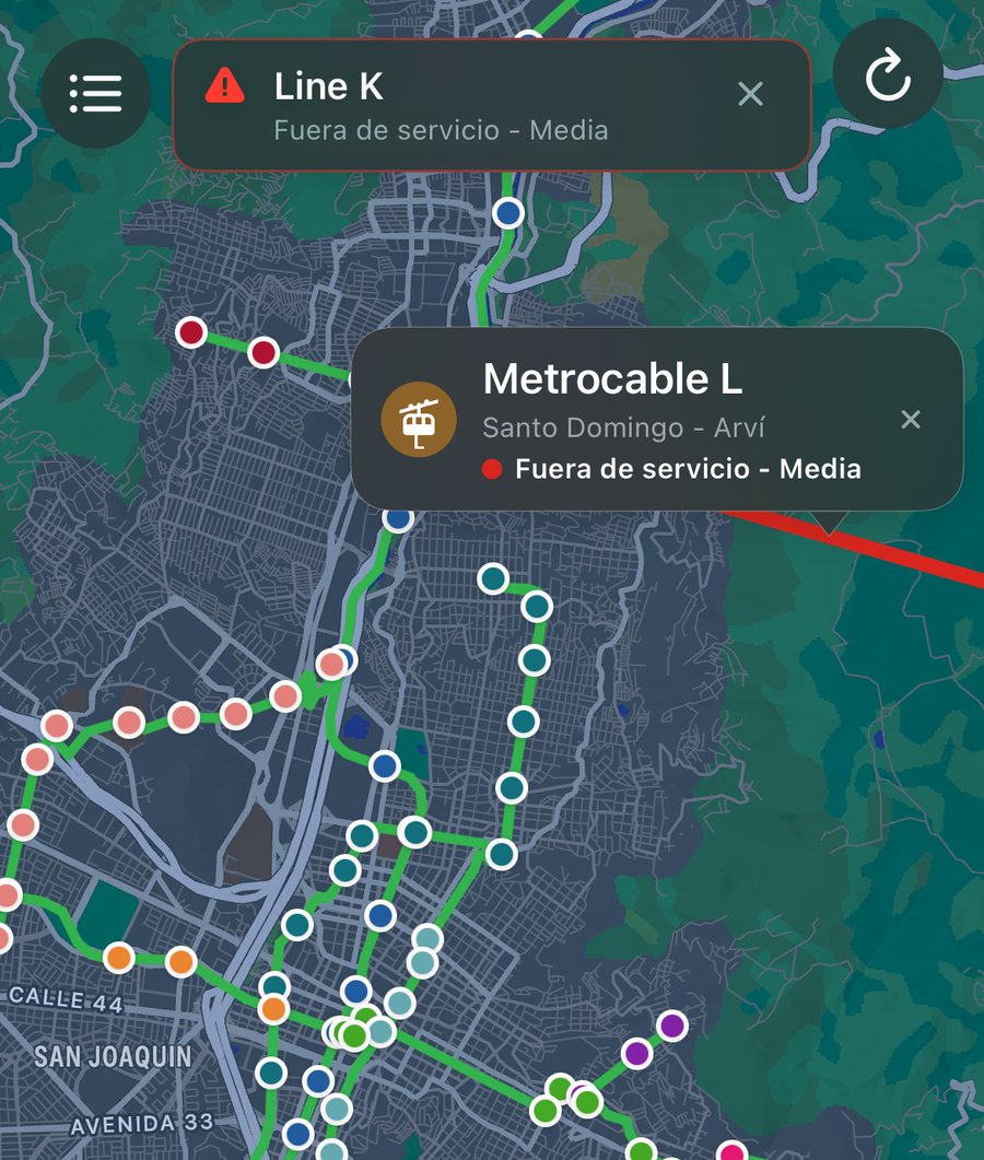
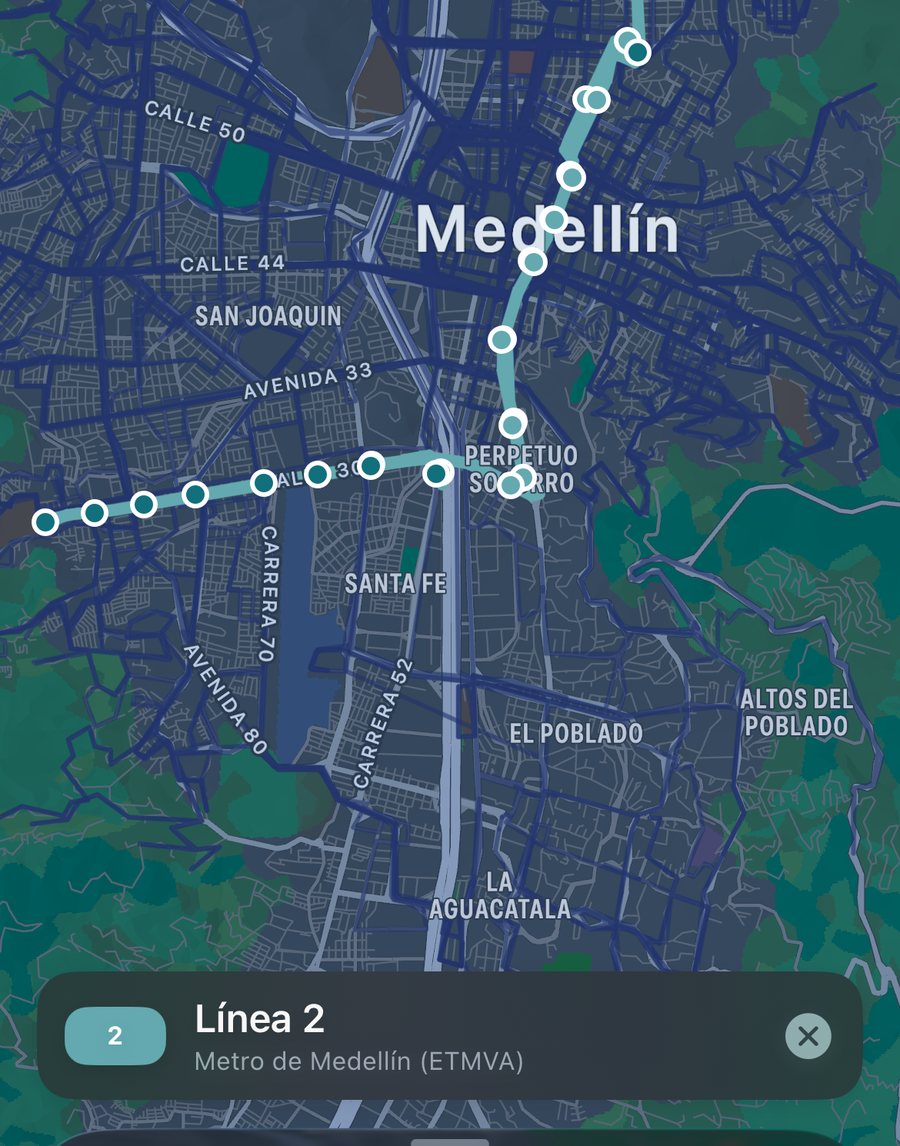
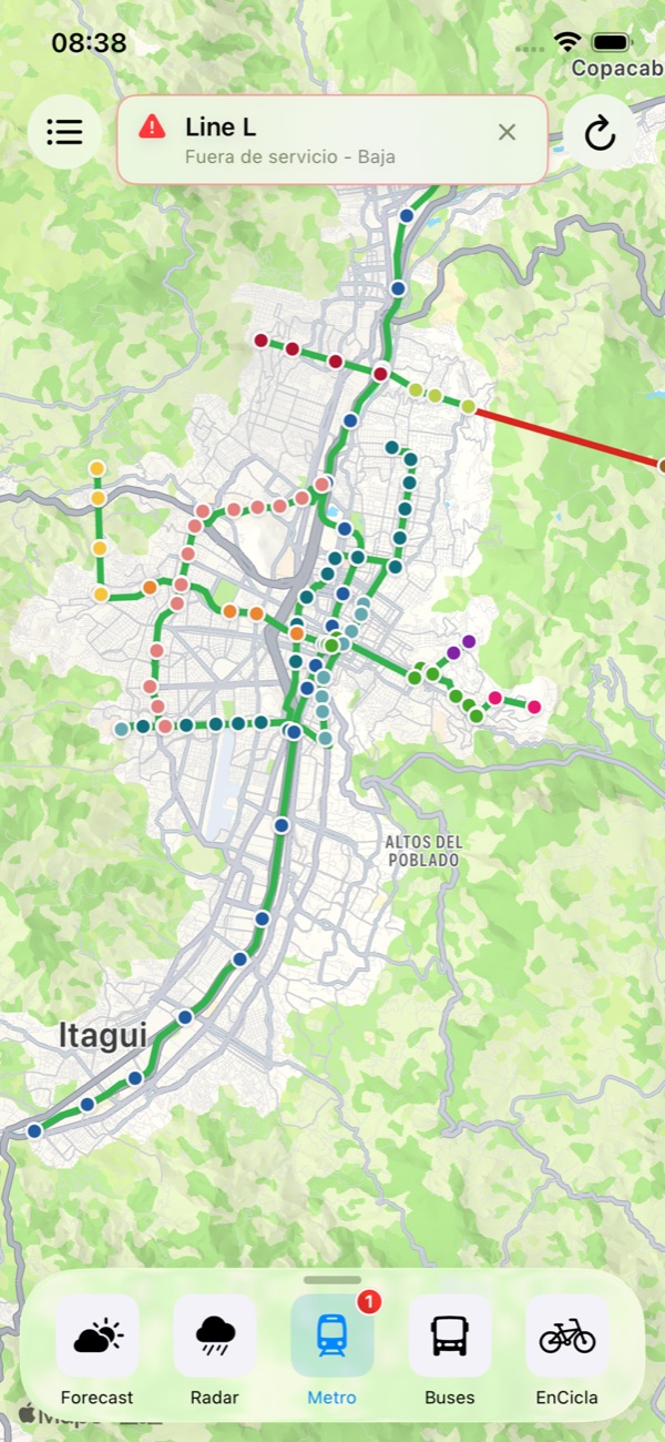
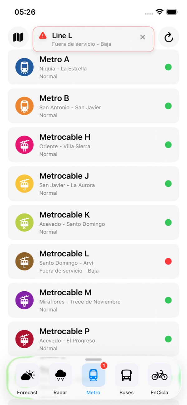
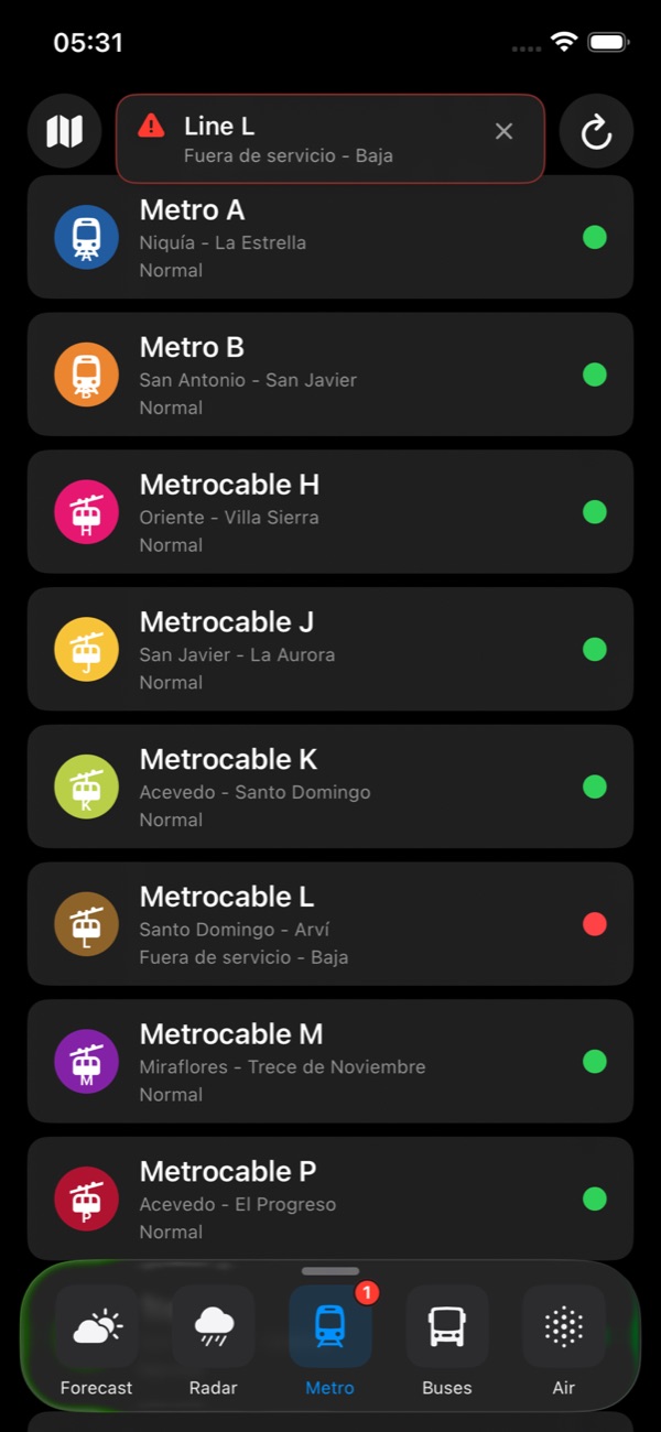
Line status with live service alerts, on the lines themselves.
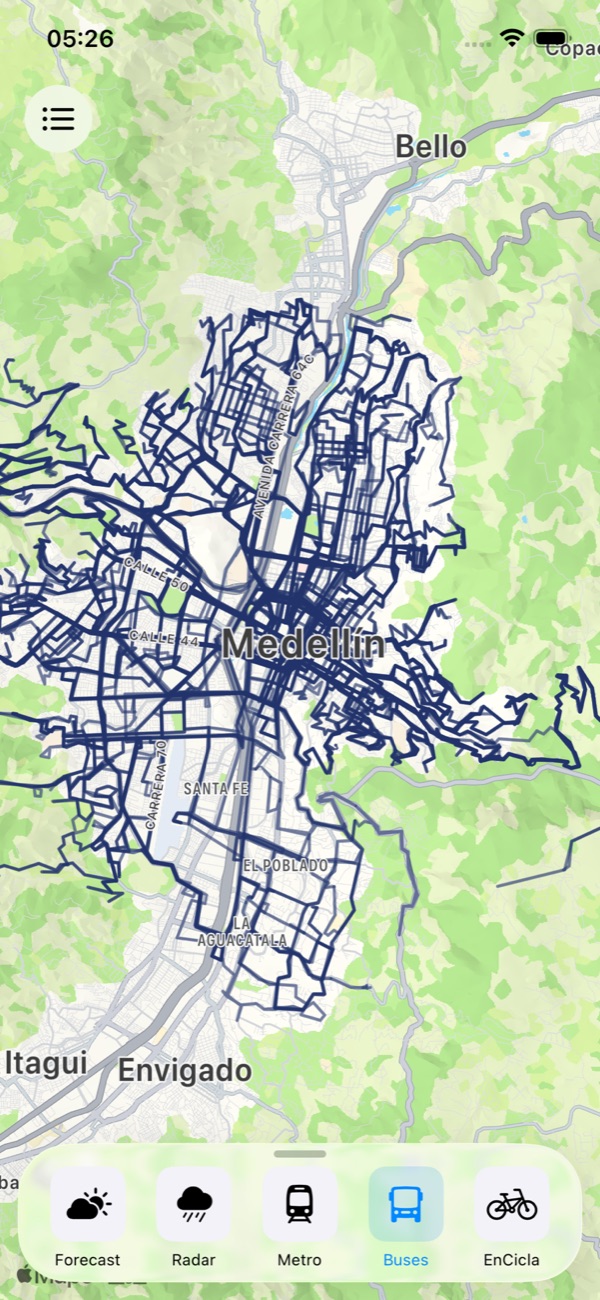
Every route in the valley. Tap one to trace it end to end.
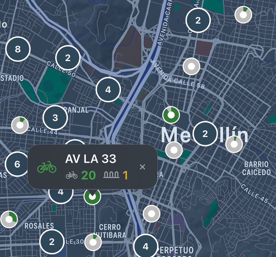
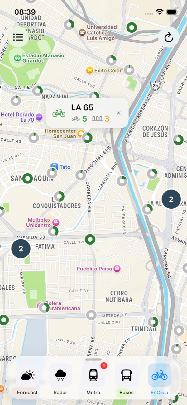
Bikes and free docks, per station.
Transit sits on the same map as the weather, because the decision is the same one: it is raining, so how do I get across the valley right now.
The valley makes its own weather. It can pour on Bello and stay dry in Envigado, and a single snapshot of the radar tells you nothing about which way that is heading.
Pulso animates the sweep, so you can see the band of rain move and judge whether it is coming your way or already past you. Long-press anywhere to read the intensity at that exact point.
Every quebrada that SIATA gauges is drawn along its real course rather than dropped as a pin, so a rising creek reads as a line through the neighbourhoods it actually runs past.
Green through red, updated as the gauges report. Tap a stretch for the reading behind the colour.
Air quality is published station by station, which leaves you guessing about everywhere in between. Pulso interpolates across the stations and renders the result as a continuous surface.
So you get the ICA where you actually are, not at the monitoring station four kilometres up the valley.
12 lines, 114 stations, with live service alerts when a line goes down.
335 routes and 5 289 stops. Tap any route to trace it end to end.
Bikes and free docks per station, so you know before you walk there.
Pulso follows your system appearance, or you can pin it to light or dark in Settings. Both are drawn to stay readable in direct sun.
The short version of the support page. The full FAQ and every field of the privacy policy are one tap away.
Yes. No accounts, no subscription, no in-app purchases and no advertising. Pulso has never earned a peso, and there's no plan for it to.
From public sources: SIATA (rain, radar, river levels, air quality, weather), Metro de Medellín (stations and lines), the Colombian open-data portal, and CityBikes (EnCicla). Pulso has no official relationship with any of them; it uses their public data with attribution.
No. Pulso is an independent app that displays public third-party data, and is not affiliated with SIATA, the Área Metropolitana del Valle de Aburrá or any government entity. It is not an early-warning system and must not be used as the sole basis for decisions affecting life, health, safety or property. In an emergency, call 123 (Colombia) or follow official channels.
Yes. Pulso is live on the App Store for iOS and on Google Play for Android.
Not continuously. There is no background location and no history. Pulso may ask permission to take a single reading to match you to your municipality, and the coordinate is discarded immediately. See the Privacy Policy for the full detail.
No accounts, no tracking, no ads. Just live data for the valley.
There is no price, no subscription, no in-app purchase and no advertising: nothing to buy, and nothing about you to sell. It is built on data the valley already publishes openly, and it is handed back to the people who live here.
Every layer comes from a feed that is already public: SIATA, Metro de Medellín, datos.gov.co, CityBikes. The valley measures it, the agencies publish it openly, and Pulso only puts all of it on one map.
No ads, no ad networks, no sponsorship, no subscription, no paid tier, no “pro” version. Pulso has never earned a peso, and there is no plan for it to. Your data is never sold or shared commercially.
The Aburrá Valley already pays for these measurements. Pulso only makes them readable at a glance, for the people living between Caldas and Barbosa. Free, permanently.
The honest footnote: Pulso does collect anonymous crash and usage statistics, so that a bug you hit can be fixed. They carry nothing you typed and nothing about where you are, and you can switch them off in Settings → Privacy. That is the whole of it. The privacy policy spells out every field.
Every feed Pulso reads is published openly, by the organisation that produces it: SIATA, Metro de Medellín, datos.gov.co and CityBikes. Pulso reads only what those sources already publish: no privileged access, no agreement, no reserved channel. It is an independent app, it does not represent any government entity, and it is not affiliated with SIATA or the Área Metropolitana del Valle de Aburrá. Their names and marks are used solely to attribute the data.